Walks and trails at Rutland Water
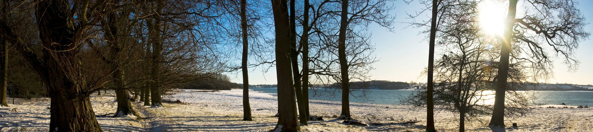
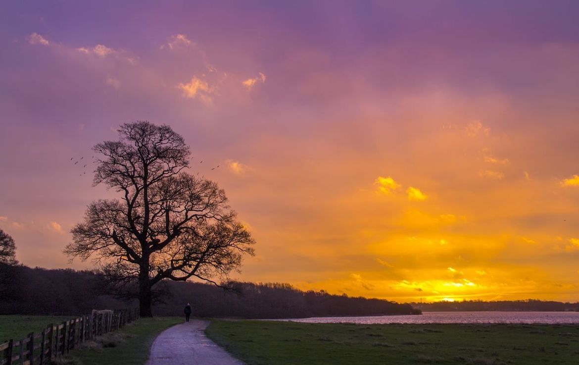
Enjoy the breathtaking backdrop of Rutland Water all year round by exploring the 22.1 miles of trails around the reservoir. Whether you’re looking for long circular walking and cycling routes, shorter linear walks ideal for wheelchair and pushchair access, or somewhere to walk your dogs, we’ve got walking trails at Rutland for everyone to enjoy.
Routes around the water
If you’re up for a hike, walking the full 22.1 miles around the reservoir will take you around 8 hours, or just around 5 and a half hours to walk the 15.1 miles excluding the Hambleton Peninsula.
To enjoy shorter walks at Rutland Water, take a look at our handy guide below. These 7 linear routes, suitable for walking and cycling, all vary in difficulty, gradient, terrain and accessibility. If you'd like to find out more about the activities available at Rutland Water, check out our Rutland park page or park map.
*Accessible route available, for more information, please see our accessible routes below.
Accessible route guidance
Normanton – Sykes Lane
Distance: Approximately 2.3 miles
Start point: Rutland Water Visitor Centre, Sykes Lane, LE15 8QL or the Waterside Café, Normanton Rd, LE15 8HD. Accessible parking spaces are available at each car park.
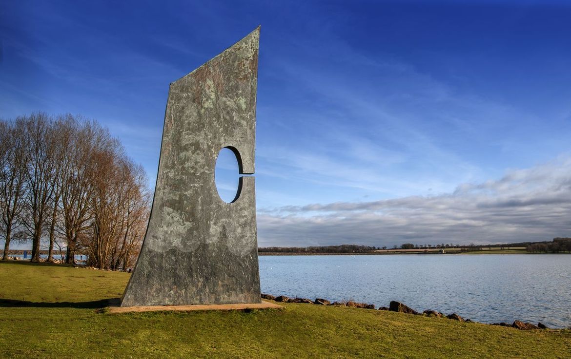
Description: This linear route along Rutland Water’s southeastern shore includes some iconic views of Normanton Church and the Dam. Most of the route is tarmac, but there is around 100m between the Waterside Café and Normanton Church where it changes to compacted stone, which is bumpy in places.
Gradient: The route is mostly flat with the steepest section being on the approach to the Dam from both directions at 1:5 for a maximum of 15 metres.
Gates: The route passes three gates with a minimum width of 110cm.
Facilities: At Normanton, you’ll find The Waterside Café which has step-free access, our newly installed Changing Places toilet, the church can be accessed via wheelchair and pushchair, and we also have a wheely boat available to hire from the Fishing Lodge. Round at Sykes Lane, we have accessible toilets, a takeway café and Visitor Centre.
Sykes Lane – Whitwell
Distance: Approximately 1.5 miles
Start point: Rutland Water Visitor Centre, Sykes Lane, LE15 8QL or the Harbour Café, Whitwell, LE15 8BL. Accessible parking spaces are available at each car park.
Description: This is a shorter, but slightly more hilly, linear route that starts from the Visitor Centre, and ends at the Harbour Café at Whitwell point.
Gradient: The route is steepest going down the slope from the boat park and back up into the sheep field. The maximum gradient ratio here is 1:7.
Gates: There are three gates along the route with a minimum width of 110cm.
Facilities: The takeaway café at Sykes Lane and the Visitor Centre have step-free access and seating outside. At Whitwell, you’ll find a Changing Places toilet near the takeaway café. The location of this can be found at firelight.publish.diplomats. The Harbour Café also has step-free access, with downstairs open during peak season offering takeaway food, and upstairs offering a selection of dine-in meals all year round.
Rutland Water Nature Reserve
Distance: Approximately 1.6 miles
Start point: Anglian Water Birdwatching Centre, Egleton, LE15 8BT. Accessible parking spaces are available.
Description: This linear route through the Nature Reserve takes you out of the Birdwatching Centre and to the right, past many shallow lagoons and branches off to several bird hides. The path is mostly compacted stone with some loose stones, some areas of tarmac and wooden walkways. Please note that if there has been heavy rain, there may be standing water on the track.
Gradient: The route is mostly flat with some gentle slopes including ramps to hides and the Anglian Water Birdwatching Centre. The steepest slope on this route is 1:7 for a distance of 15 metres on the route towards the Dunlin hide.
Gates: Access to the reserve is through low access hand gates which open to a width of at least 1 metre.
Facilities: The Anglian Water Birdwatching Centre has a gift shop, takeaway snacks and drinks and an accessible toilet. There is also a mobility scooter available to hire. Please speak to the team to check availability.
For more information on accessibility at Rutland Water, please see our Access Statement.
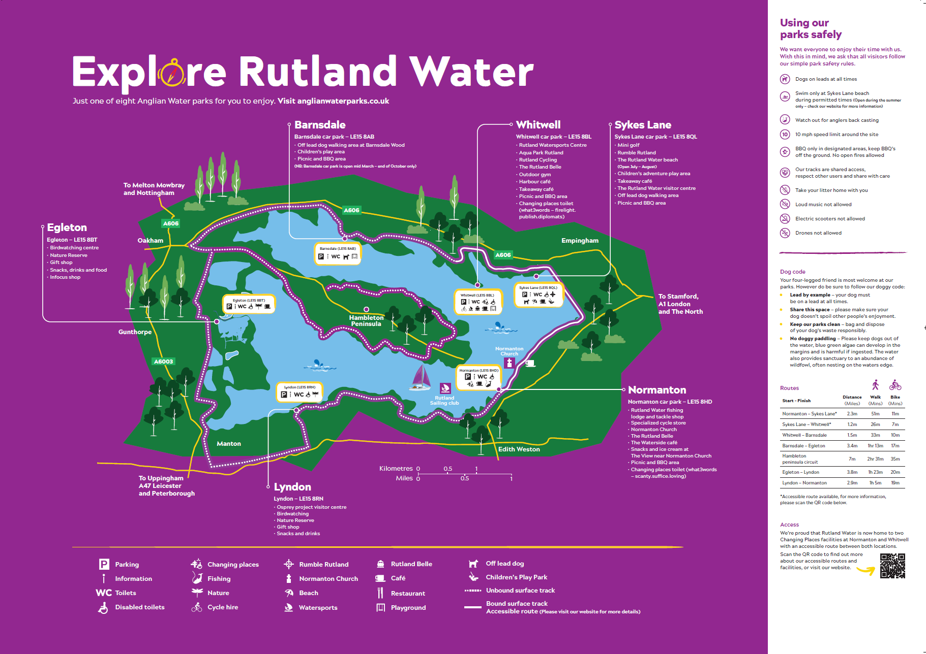
Rutland park map
Access Statement for Rutland Water
Can I bring my dog?
The Nature Reserve at Egleton and Lyndon and the beach at Sykes Lane are dog-free areas. Please follow our dog code:
- Lead by example - your dog must be on a lead at all times.
- Share this space - please make sure your dog doesn't spoil other people's enjoyment
- Keep our parks clean - bag and dispose of your dog's waste responsibly
- No doggy paddling - Please keep dogs out of the water, blue green algae can develop in the margins and is harmful if ingested. The water also provides sanctuary to an abundance of wildfowl, often nesting on the waters edge.
Our water parks not only bring vital water resources for the region, but they also provide a fantastic day out for all the family.
Whether you're looking for an action-packed day on the water, a spot of fishing to escape the stresses and strains of everyday life, or simply want to enjoy a relaxing walk in beautiful surroundings, look no further than our fabulous water parks.